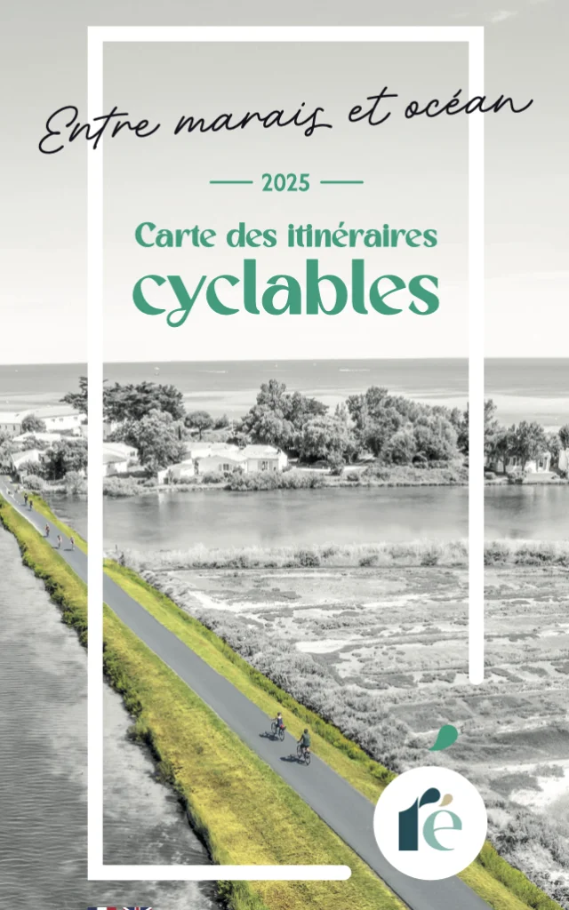
Map of Ile de Ré and its cycling network
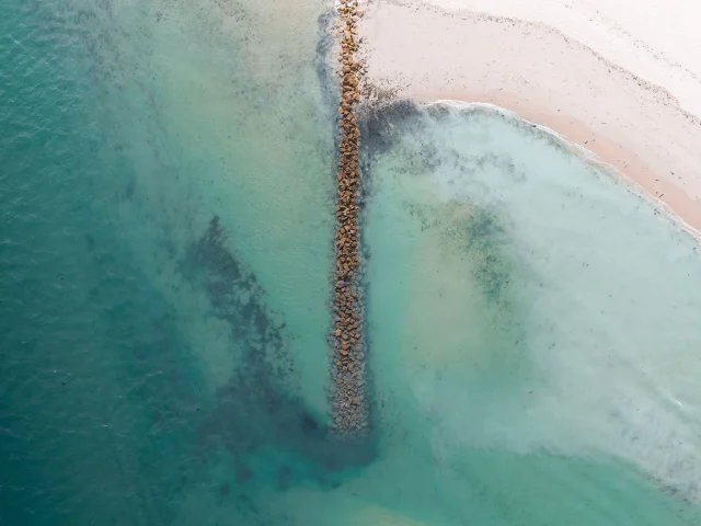
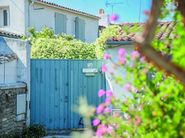
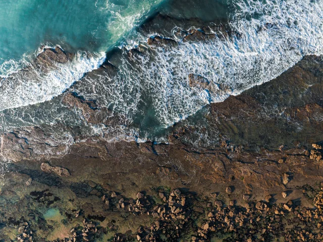
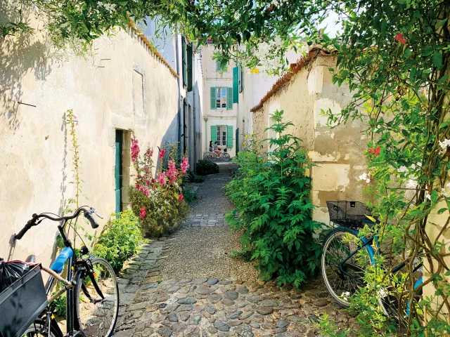
Cycling is undoubtedly the best way to explore the island of Ré, and what better way to get around than with a map of the cycling network, listing viewpoints, points of interest, a table of distances between villages and other practical information?
If you’d like to take your own map and set off along the trails in complete safety, don’t hesitate to download your copy or pick one up from your local tourist office.
Further information:
- The cycle path from Les Ebrèches to Loix, along the Pointe du Grouin in the direction of Camping des Ilates, is closed, and the cycle route is now on the Route du Grouin.
 Cic 2025 coverage